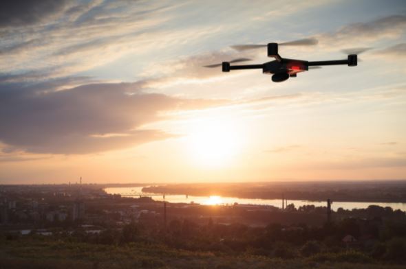
Los Angeles Drone Mapping

As a Los Angeles resident, you are no doubt aware of the city’s many issues with traffic. The LA metropolitan area is notorious for its bumper-to-bumper gridlock and long commute times. But what if there was an easy way to reduce that congestion? Enter drone mapping technology! Drones have been used by cities worldwide to map their infrastructure to identify weak points and find solutions. This process can help planners make better decisions about how much land is needed for new buildings, where roads should be built or widened, and more. Drones also allow us to create 3D models of natural features such as trees or mountainsides, which helps scientists study them from all angles without hiking into the wilderness themselves. If you’ve been curious about drone mapping, check out these drone services in LA. Reach our team today via (323) 366-3538.
About LA LiDAR
For many years, LA LiDAR has been at the forefront of drone mapping technology in Los Angeles, CA. We provide drone services for a wide variety of clients, including home builders and engineers to planners who are looking for innovative ways to reduce congestion on LA’s many freeways. Whether you’re interested in drone mapping or simply need drone inspection services that can help your project go faster than traditional methods, give us a call.
Our team is ready to help you get started. We have trained and experienced drone operators who will work with you to develop a drone mapping plan that meets your needs. We also offer other services, including land surveying, LiDAR, topological mapping, terrestrial and mobile scanning, surveyor company, and photogrammetric mapping. If you need assistance, we are happy to help you. Contact us today at (323) 366-3538.
How Does Drone Mapping Works?
If you’re looking to get a bird’s eye view of your property, then drone mapping is for you. Drone mapping is more affordable and less time-consuming than satellite imaging or aerial photography. The drone mapping process is a relatively new yet cost-effective way to collect development and engineering projects data. Engineers use drones with specialized sensors to scan the ground and create 3D models used in construction or design. The result is an accurate, detailed model of an area that you can explore on your computer screen. This technology has changed how engineers work because it offers faster, more affordable ways to make better decisions about their projects.
First off, let’s talk about what exactly drone mapping entails: it’s all about taking pictures from an aerial perspective using a camera attached to a quadcopter. These are usually taken with GPS coordinates to create high-resolution images that can be used for various purposes, such as 3D modeling and site planning. This technology has been around for many years, when the first unmanned drone was used for mapping purposes.
Pros of Drone Mapping
So how can drone mapping benefit your project? Well, here are just a few of the ways drone mapping services in LA might be able to help:
Reducing Construction Costs by Eliminating Site Visits
Construction site visits are a necessary part of the process for any construction project; however, they take up time and resources. Finding out what is happening at a site can be difficult because it requires going to the site in person, taking valuable time away from other projects. Drone mapping eliminates these site visits by providing an aerial view of the work being done on-site. This saves both time and money, as well as reducing environmental impacts caused by vehicle emissions.
Improving Safety and Efficiency with Less Manual Labor Required Onsite
Are you a Los Angeles resident looking for an innovative way to improve safety and efficiency onsite? Drone mapping may be the answer. With the ability to quickly map outbuildings, roads, and other important features, drone mapping significantly reduces manual labor onsite while improving accuracy.
Improving Collaboration Between Drone Operators and Planners
Drone mapping can improve collaboration between drone operators and planners by providing data that is difficult or impossible to obtain. Drone mapping will allow for a better understanding of existing infrastructure, how it was built, and its current condition. In addition, drones can provide information on areas that are not easily accessible such as steep slopes or remote locations. This new technology provides a valuable tool in urban planning.
Contact LA LiDAR Today
If drone mapping services in Los Angeles sound like something that could benefit your project, don’t hesitate to contact us. We’re happy to answer any questions you have about drone mapping or the many other drone-related services we offer. To learn more and get started on your drone mapping project today, give us a call at (323) 366-3538.

